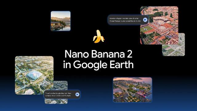
Google has ushered in an era of AI-powered image generation on map data by integrating its advanced visual generation model, Nano Banana 2, into the Google Earth web platform. Rolled out globally, this new tool allows users to select any location on Google Earth, enter text prompts, transform existing satellite and 3D map data, and generate entirely new visuals.
How Nano Banana 2 Works and Its Features
The system is used quite practically through the web version of Google Earth. After zooming in on a desired spot on the map, users select the "generate image" option and enter a text prompt describing the landscape they want to see. The Nano Banana 2 model combines existing satellite imagery, aerial photos, and 3D map data to produce AI-generated visuals that seamlessly adapt to the selected location.
Use Cases from Education to Architecture
Google’s new integration offers a wide range of applications across different sectors:
- Education: While covering historical sites in class, teachers can transform today's ruins into the vibrant versions of the past. For instance, the ruins of Pompeii can be quickly adapted into an ancient city from the Roman Empire era.
- Architecture and Urban Planning: Architects and urban planners can transform a vacant plot of land into a lively structure (such as a shopping mall) in line with a project, enabling them to deliver realistic presentations to clients.
- Infographics and Visualization: Users can generate custom infographics to learn about specific geographic areas or give their favorite locations brand-new designs for personal entertainment.
Sectoral Reflections and Impacts on the Design World
The close integration of map data with AI models demonstrates how powerfully digital content creation and visualization tools can merge with geographic databases. The widespread adoption of such tools holds the potential to significantly accelerate workflows, particularly in location-based marketing, real estate presentations, and the preparation of interactive educational materials.
Frequently Asked Questions
Is a paid subscription required to use Nano Banana 2?
Rolled out globally on the Google Earth web platform, Nano Banana 2 is accessible to standard users through the existing web version.
Do these AI-generated images permanently alter real map data?
No, the generated images are not a permanent update to the original geographic data; they are AI-generated visualizations created instantly over the user's selected area.
*This news is based on data published by Webtekno — Artificial Intelligence.
💬 Comments
No comments yet. Be the first!
You must be logged in to comment.
🔑 Log In